Geoinformationssysteme
Geoinformationssysteme

Datenintegration
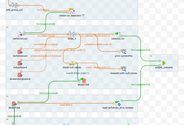
In Behörden und Unternehmen wird es immer wichtiger, große Geodatenmengen möglichst automatisiert zu strukturieren und bereitzustellen. Diese sogenannten Datenintegrationslösungen können über räumlichen ETL-Prozesse abgebildet werden.
- Erstellen von Workflows mit verschiedenen ETL-Tools (Apache Airflow / Hopp, FME, Talend, ...)
- Datenaufbereitung von Altdatenbeständen – Karten, Pläne, Luftbilder, etc. digitalisieren, georeferenzieren, vektorisieren
- Datenkonvertierung, Datentransformation, Geokodierung
- Shell-scripting oder Python-Scripting für wiederkehrende Workflows

Geodatenbanken und GIS
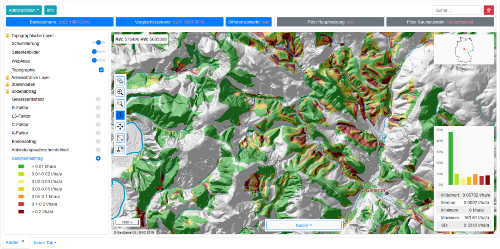
Für das Management von Datenbeständen mit Raumbezug bietet sich der Einsatz von Geodatenbanken an. Geodatenbanken bilden in der Regel die Basis von Geoinformationssystemen und Geodateninfrastrukturen (GDI) mit den dazugehörigen Geodatendiensten. Geodatenbanken nutzen räumliche Datentypen und Indizes zur Speicherung der Rauminformationen. Darauf aufbauend ermöglicht die Integration räumlicher Operatoren und Funktionen die Prozessierung von Geodaten direkt in einer Datenbank. Wir entwickeln und unterstützen u.a. bei:
- Datenbankdesign
- GDI für Infrastrukturdaten von Strom- und Netzanbietern, Verkehrsbetrieben, Logistik, Gesundheitswesen …
- Speicherung von Leitungsnetzen oder Straßen in Form von topologischen Daten als Grundlage für die Routenplanung (Knoten-Kanten-Modell)
- Datenverwaltung von GIS-Fachschalen, z.B. Zugriff eines QGIS-Plugins auf eine Geodatenbank
